
Mapping the Economic Potential of Every Coastal Mile.
Built with the people who live and work at Sea.
Orbiventure's SeaVoice vision model integrates satellite Earth Observation with data from working fishing vessels to generate economic and environmental forecasts of coastal locations. We accelerate marine site assessments whilst protecting inshore fishing communities.
What We Do
A continuous coastal sensing network.
Orbiventure's geoAI platform deploys aboard inshore fishing vessels, capturing real-time visual and activity data across water. Combined with satellite Earth Observation, we generate economic forecasts of coastal locations that have never previously existed.
A data model that grows with every vessel, we contextualize information reducing site assessment time, reducing risk for offshore development, and providing fishing communities verified data of their own.
01
02
03
04
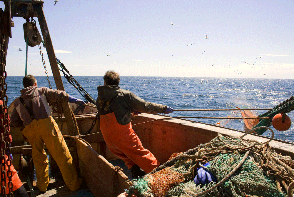
Photo credits: DEFRA
Vision Language Model Deployed at Sea
SeaVoice runs aboard inshore fishing vessels, capturing continuous imagery and activity data across coastal waters using computer vision trained on the marine environment.
Satellite Earth Observation Layer
Each vessel observation is enriched with satellite EO data, ocean conditions, spatial policy layers, protected areas, and offshore infrastructure.
Economic Forecasting for Coastal Locations
We generate economic maps of fishing activity and site potential that have never previously existed enabling developers to select sites faster and with lower risk, while giving fishers verified evidence of their livelihoods.
Compliance Reporting
Our outputs feed directly into regulatory assessment workflows and planning processes, accelerating compliance and reducing the cost and duration of mandatory marine surveys across construction stages.
How it works

1
AI-enabled reporting and observation at sea
Capturing observations and operational data from people working at sea through voice input and automated reporting systems. AI models structure and analyse these inputs alongside vessel movement and environmental signals to better understand fishing behaviour, site assessments, and activity patterns across coastal waters.
2
Spatial and environmental context
Each report is automatically geo-tagged and enriched with satellite Earth observation and marine environmental data to provide context about ocean conditions and surrounding marine space.
3
Coastal intelligence for decision-making
Integrating community observations, satellite data, and marine regulatory frameworks to understand how activity and policy interact across coastal waters. By mapping fishing behaviour alongside protected areas, offshore infrastructure, and other spatial policies, the system reveals both current and emerging overlaps in marine use.

Photo credits: The Fishing Daily
Our Principles
Community-First Design
We work directly with people who live and work on the coast to ensure technology reflects real operational needs.
Accessible Environmental Intelligence
Satellite data should support decision-making for everyone.
Transparency and Trust
Data systems must be understandable and accountable to the communities they affect.
Adaptive Oceans
Marine systems are dynamic. Our tools are designed to evolve alongside environmental and policy changes.
Supported by:
.png)


Coming Soon
We are working closely with local fishing and marine industries to explore how new technologies can be adopted effectively. Through our collaborations with EO-AI providers, we aim to publish and share best practices in service design for the Earth Observation and conservation sectors.
Stay tuned or follow our LinkedIn for more updates coming soon!